Seed funding from the International Fund for Animal Welfare is enabling the Great Eastern Ranges to kickstart its flood recovery program in northern NSW and south-east Queensland.
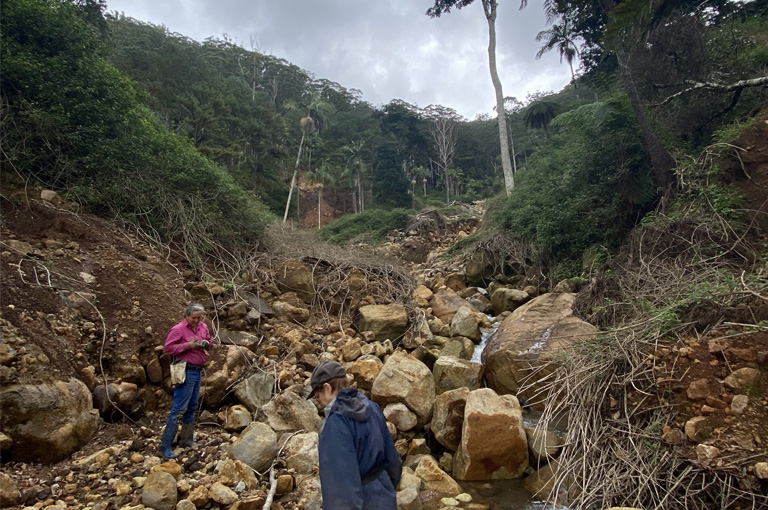
The first projects will take place in the Lockyer Valley and Northern Rivers where rapid landscape ‘health checks’ will be carried out to assess flood damage and inform and prioritise local restoration needs.
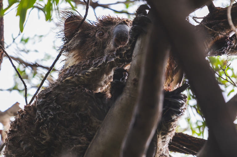
In the Northern Rivers, this will include working with the community to remove large amounts of rubbish and flood debris that have swept into the Richmond River, polluting the water and posing a hazard to local wildlife. A critical first step in restoring this important riverine koala corridor.
“The heavy rainfall and mega floods of Autumn 2022 devastated local communities, wildlife and landscapes in these regions. Sadly, many of the areas that were hardest hit, like the Lockyer Valley, were the same ones still recovering from the Black Summer bushfires,” says Gary Howling, CEO of GER.
“We developed our flood recovery program in response to feedback and advice from our regional leads who are on the frontline about local needs and priorities. The complementary, grass-roots driven projects will help communities and wildlife to heal, regenerate important habitat and build the long-term resilience of our landscapes in the face of future climate disasters.”
The use of a new smartphone app, developed in partnership with Griffith University to support the collection of important information by citizen scientists on disaster impact and recovery, will be trialled during the projects. The Disaster Tracker Recovery app will be used to help assess flood damage, identify key threats to recovery, and pinpoint safe sites for the release of sick and injured wildlife.

“Development of the Disaster Recovery Tracker app began after the Black Summer bushfires in response to the need for a simple platform that could be used by anyone to help collect valuable information on the recovery of our habitats and wildlife,” said GER CEO Gary Howling.
“We found that the app also served as an important tool for helping impacted communities to heal by giving them an incentive to head back into the bush and see their land regenerating in real time. It gave them a way to lend a hand.”
Once tested, the app will be released to the public with anyone with a smartphone invited to take part in the survey.
“Australia has seen first-hand the damaging impacts of climate change and the devastating consequences for both animals and people. This is why we’ve been collaborating with GER to help build landscape and community resilience to future disasters,” IFAW Regional Director Rebecca Keeble said.
“We recognise we all have a part to play and by sharing ideas and working together, we’re giving our wildlife and communities the best chances of surviving and thriving together into the future.”
GER is currently seeking funding to support additional flood recovery projects in the Lockyer Valley, Border Ranges and other disaster areas.


 Article